:: Picture Lanna :: ภาพล้านนาในอดีต :: คุณบุญเสริม สาตราภัย
 |
|
|
| |
|
 Displaying 39 of
1151 images for all of the keyword Aerial Photograph Displaying 39 of
1151 images for all of the keyword Aerial Photograph | |
 Aerial photograph of the Chang Phueak transport station and Santitham village area, 1969.
 |
Aerial photograph of the Chiang Mai Highway District Office opposite the Maharaj Nakorn Chiang Mai Hospital, 1963. |
Aerial photograph of the Chiang Mai Highway District Office opposite the Maharaj Nakorn Chiang Mai Hospital, 1969. | |
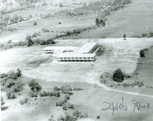
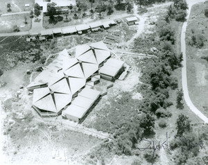
Aerial Photograph of the Faculty of Agriculture, above is the cluster of student dormitories, 1970. |
Aerial Photograph of the Faculty of Agriculture, Chiang Mai University, 1970. |
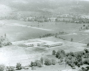
Aerial Photograph of The Faculty of Science, Chiang Mai University, 1970. | |
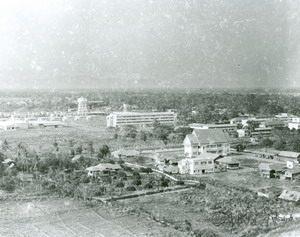
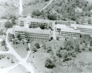
Aerial Photograph of the Main Library of Chiang Mai University (old building), 1970. |
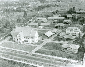
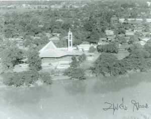
Aerial photograph of the new First Presbyterian Church, 1969. |
Aerial photograph of the old church on Chiang Mai-Lamphun Road and the Chiang Mai Christian School, 1969. | |
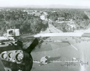
Aerial photograph of the Saeng Tawan Intersection. The tall building at the top is the Suriwong Hotel, 1973. |
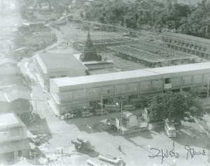
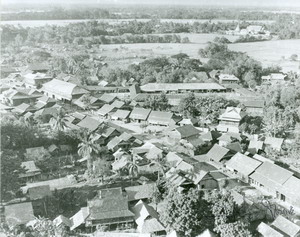
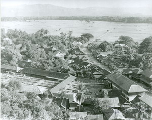
Aerial photograph of the San Kamphaeng trade zone, 1953. |
Aerial photograph of the San Kamphaeng trade zone, 1953. |
<< Found 39 Records >>
  Current page 2/4 Current page 2/4 
1 [2] 3 4 |
|
| |
|